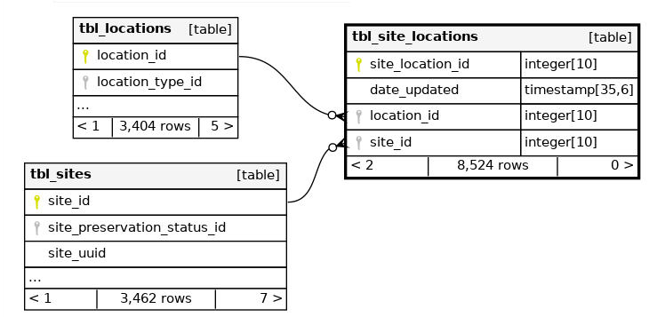
This maps the connections between the archaeological sites and their geographic locations.
The relevant columns for this dataset relating to site and location include - By/Gård = site_name
- Socken + - RAÄ-nr = tbl_site_properties (where tbl_property_type = RAÄ nummer)
- Fornlämningstyp = site_description
- Lämningsnummer = national_site_identifier
- Uppdragsnummer = tbl_site_properties (where tbl_property_type = RAÄ nummer)
The final version of the file will also have two columns for koordinater (WGS 84), which will be the equivalent to: